A new service will allow UK researchers to gather high-resolution satellite data from anywhere in the world, initially for free.
The project is based on a partnership between Jisc, the non-profit membership organisation that provides digital solutions to UK universities, and the aeronautics company Airbus.
“Universities will no longer have to build their own satellites and send them up,” said Keith Cole, an executive director at Jisc. “We are inviting universities to request data for areas of interest.”
They just need to specify the location, although, unfortunately, they can’t request imagery for China.
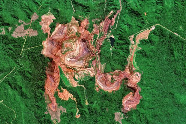
“Researchers might want to use satellite imagery to estimate the melting of the Greenland ice cap, to look at deforestation in Amazonia or urban development…They could say ‘I am interested in 100 square kilometres of imagery in the centre of Manchester over the summer’…They can specify a time slot for a calving glacier off Antarctica and ask for imagery in January and July, or for every pass of the satellite [as it orbits the earth]. Some might want continuous monitoring, others a static image of an area,” Mr Cole said.
“Once we’ve collected everyone’s requirements,” Mr Cole went on, “in February Airbus will look at how to programme the satellite to capture the data for the time period they want.”
In order to launch the project, Jisc was making the initial 10,000 square kilometres of satellite data available to all UK member universities for free and “inviting them to submit requests for data covering areas of up to 100 square kilometres to ensure that as many institutions as possible can be involved and to create case studies about how such data can be used to enhance teaching and research”. In the longer term, Jisc has negotiated a deal with Airbus so that the sector will be able to purchase new satellite data at a substantially discounted rate.
The new satellite initiative formed part of a broader partnership with Airbus, explained Mr Cole, to “deliver a range of licensed geospatial data to the sector”. Users of the Jisc Geospatial Data Service already had access to large amounts of material such as Ordnance Survey data going back to 1843. The service has now incorporated the search engine GeoSeer to allow them to search more than 1.6 million open access datasets from around the world as well as the most comprehensive index of maps ever assembled.
What this meant, explained Mr Cole, was that it would now be possible to explore through a single interface, for example, material from widely scattered sources, such as “geology data for Norway, locations of wind turbines in the US or populations at risk of flooding in Cambodia”. Jisc hoped that, together with the streams of new data that academics could now generate through the Vision-1 satellite, collecting together such disparate material would empower geography academics and students, and enhance research, teaching and learning.
Register to continue
Why register?
- Registration is free and only takes a moment
- Once registered, you can read 3 articles a month
- Sign up for our newsletter
Subscribe
Or subscribe for unlimited access to:
- Unlimited access to news, views, insights & reviews
- Digital editions
- Digital access to THE’s university and college rankings analysis
Already registered or a current subscriber? Login


